
Subsurface Methods
Our Methods
Practical ground investigation methods spanning geophysics, drilling, sampling and utility surveying. Helping teams better understand subsurface conditions.
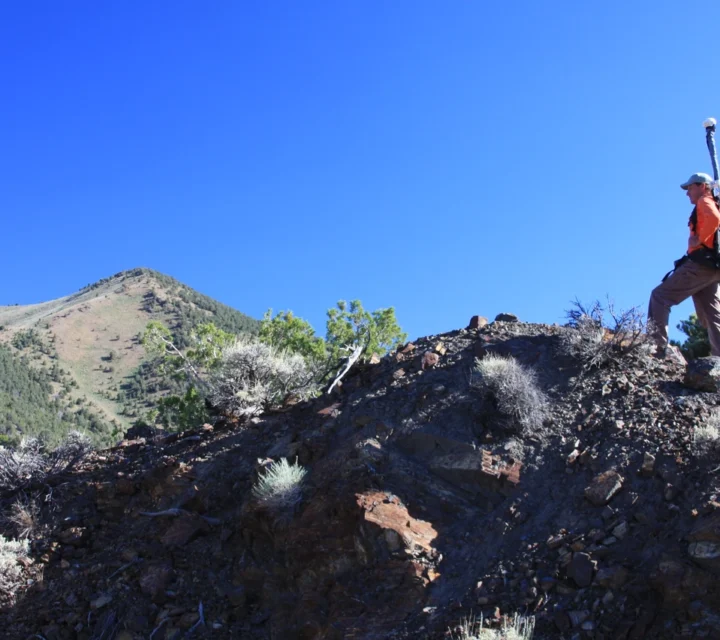
Geophysical Methods
Geophysical methods measure variations in physical properties such as electrical resistivity, magnetism, seismic velocity, and electromagnetic response. These non-invasive technologies image subsurface conditions, helping engineers, environmental professionals, and mine operators understand geology, groundwater systems, and hidden infrastructure before drilling or excavation begins.
Electrical Resistivity
Electrical resistivity imaging maps variations in subsurface conductivity, revealing changes in geology, groundwater, moisture, and buried features.
Induced Polarization
Induced polarization surveys measure chargeability and resistivity, helping identify variations in subsurface materials and geologic conditions.
Ground Penetrating Radar (GPR)
Ground penetrating radar measures reflected electromagnetic signals from subsurface materials, helping map buried utilities, structural features, and shallow subsurface conditions.
Electromagnetic Induction
Electromagnetic induction measures conductivity responses in subsurface materials, helping map geologic variations, buried infrastructure, and groundwater conditions.
Seismic & Acoustic Methods
Seismic and acoustic methods measure how energy waves travel through the subsurface. Variations in wave speed and response reveal differences in soil, rock, and structural conditions, helping map subsurface layering, material properties, and geologic features important for engineering, infrastructure, and geotechnical investigations.
Seismic Refraction
Seismic refraction measures changes in seismic wave velocity, helping map subsurface layering, bedrock depth, and variations in soil and rock properties.
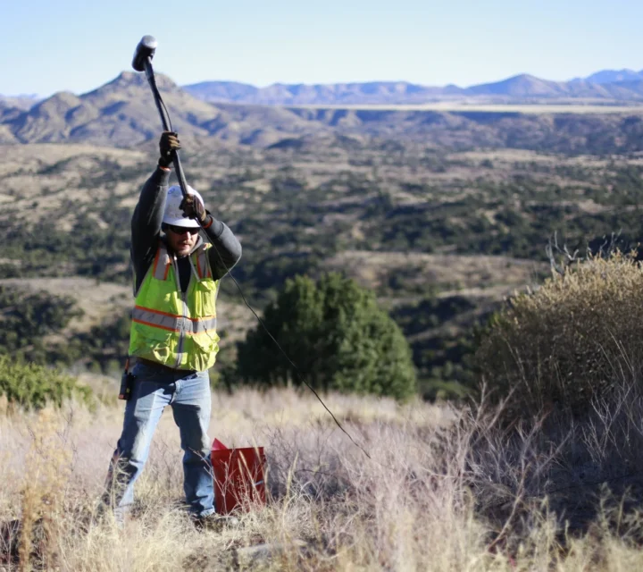
Potential Field Methods
Potential field methods measure natural variations in the Earth’s gravitational and magnetic fields. These passive geophysical techniques help map subsurface density and magnetic property contrasts, supporting regional geologic mapping, mineral exploration, and identification of buried structures and geologic features.
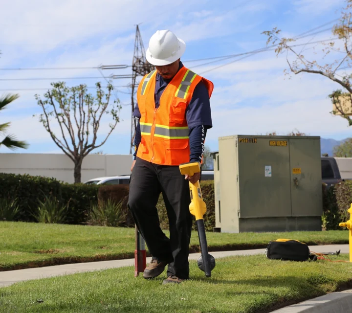
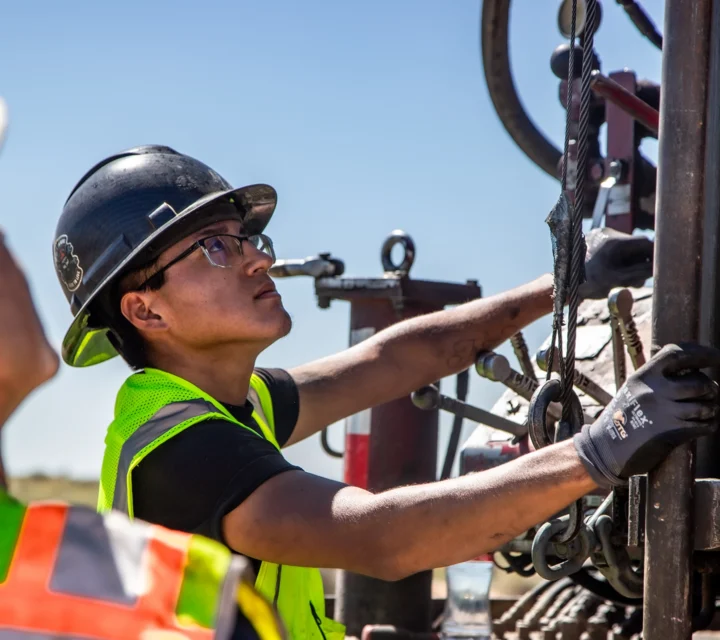
Direct Investigation Methods
Direct investigation methods provide field verification of underground conditions through visual inspection, locating tools, and controlled excavation. These techniques help confirm utility locations, map underground infrastructure, and document subsurface conditions, supporting safer excavation planning, improved coordination, and reliable documentation of buried assets.
CCTV Inspection
CCTV inspection uses camera systems inside pipelines, helping identify pipe condition, structural defects, blockages, and underground infrastructure connections.
Sonde locating
Sonde locating uses an electromagnetic transmitter inserted into pipelines, helping map underground pipe routes and infrastructure connections.
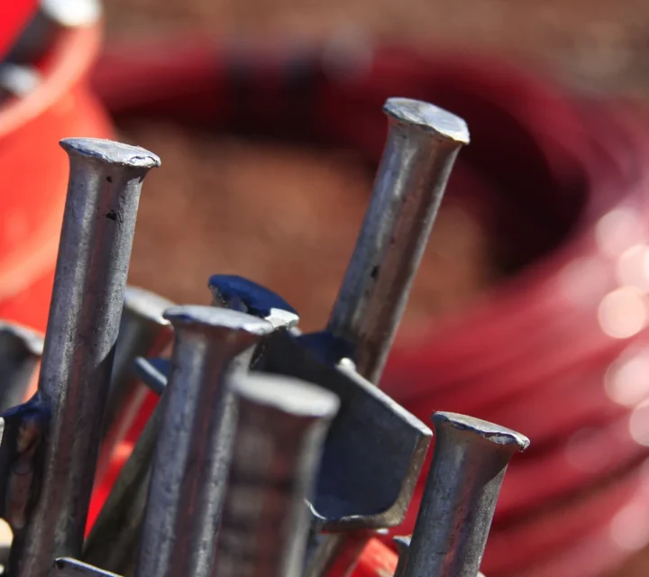
Drilling Methods
Drilling methods provide direct access to subsurface conditions for sampling, monitoring, and geotechnical investigation. Techniques such as auger, rotary, hammer, core, and direct push drilling allow teams to collect soil, rock, and groundwater data needed to support engineering, environmental, and site characterization projects.
Auger
Auger drilling uses rotating helical blades to advance boreholes, helping collect soil samples and characterize shallow subsurface conditions.
Rotary
Rotary drilling uses a rotating drill bit and circulating fluids, helping advance boreholes through soil and rock for subsurface investigation.
Hammer
Hammer drilling uses percussive impacts with a rotating bit, helping advance boreholes through hard rock and fractured formations.
Sampling Methods
Sampling methods collect soil, rock, and groundwater materials directly from the subsurface for laboratory analysis. These techniques support environmental studies, geotechnical investigations, and site characterization by providing physical samples that help engineers and scientists evaluate material properties, contamination, and subsurface conditions.
Ready to Get Started?
Whether you have a project in the works or are still in the planning stages, let our team know how we can be of service. Take a moment to request a free quote for ourUtility Investigation Services.