

Certerra Subsurface Liner Leak Location – Pinpointing industrial pond liner leaks
News2 Mar 2026
Ground Penetrating Radar is a high-resolution electromagnetic technique for imaging shallow subsurface structures using EM pulses in the 10–1000 MHz range. GPR produces detailed subsurface reflections from boundaries with differing electrical properties and is widely applied in geological, engineering, environmental, and archaeological investigations.
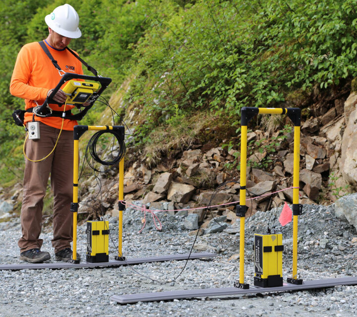
GPR transmits short electromagnetic pulses into the ground and measures the returning reflections and diffractions generated at boundaries where electrical properties change. These contrasts arise from differences in dielectric permittivity and electrical conductivity, controlling reflectivity and penetration depth. The EM wave radiates from a transmitting antenna, travels through the subsurface at a velocity determined primarily by permittivity, and is detected by a receiving antenna.
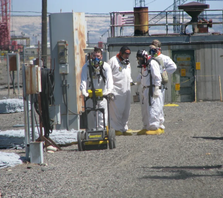
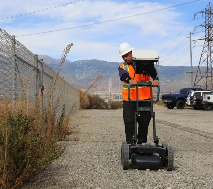
We move the transmitter and receiver together along the ground in constant-offset profiles, continuously broadcasting and recording radar waves. Because GPR is completely non-invasive, the ground is not disturbed by impacts or electrodes, making it useful in sensitive settings.
Ground Penetrating Radar is well-suited for high-resolution imaging of shallow subsurface features when conditions allow radar penetration. GPR is valuable for identifying structural changes, mapping near-surface layering, locating objects or interfaces with contrasting electrical properties, and examining sites where non-invasive investigation is essential. The method performs best in environments such as ice, sand, gravel, and fresh water, where low electrical conductivity enables deeper and clearer imaging.
GPR provides detailed information useful in geological, engineering, environmental, and archaeological investigations. It is especially effective for mapping shallow stratigraphy, identifying voids or disturbances, and supporting investigations where surface integrity must be preserved.
GPR provides a clear, high-resolution understanding of shallow subsurface conditions, revealing near-surface layering, buried objects, interfaces, and structural variations. Because GPR is non-invasive and rapid, we deliver valuable information without disturbing the ground, making it ideal for sensitive or restricted environments.
Our GPR surveys provide continuous, detailed data that improves understanding of shallow geology and supports decisions requiring accurate depiction of near-surface features. When conditions are favorable, GPR produces some of the highest-resolution images available for shallow investigations, helping you identify features influencing stability, layout, or site characterization.
Learn how GPR detects near-surface variations, where it works best, and how its reflections reveal shallow structure, objects, and boundaries that guide site characterization and decision-making.
GPR works best in low-conductivity media such as sands, gravels, ice, fresh water, crude oil, and competent bedrock.
Performance is limited in conductive environments like wet clays, conductive soils, or seawater, where attenuation prevents penetration.
Depth depends on antenna frequency and material conductivity, higher frequencies produce shallow, high-detail images; lower frequencies penetrate deeper.
GPR can identify layering, objects, voids, disturbed zones, and contrasts in material properties.
Ground penetrating radar provides high-resolution insight into shallow subsurface features where access is limited. Field-verified GPR data supports detection, verification, and planning decisions without excavation or surface disturbance.
Loading...

