
Geophysical Characterization
Understanding The Subsurface With Geophysical Characterization
Geophysical characterization is the non-invasive analysis of the earth’s subsurface to reveal its structure and properties. It is often the most cost-effective way to obtain subsurface information and a critical part of understanding how the subsurface behaves and evolves.
Geophysical Characterization
Delivers The Big Picture
With geophysical characterization, you gain a clear understanding of what lies beneath the surface: how materials vary, how fluids move, and how subsurface conditions influence stability. Our approach delivers the big picture, turning complex subsurface data into interpretable visualizations and relationships. The results are informed decisions, safer design, and more effective monitoring backed by reliable information.
Geophysical Characterization
Geophysical Characterization Services
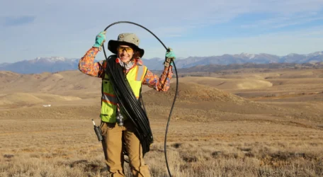
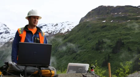
We offer comprehensive geophysical characterization services for subsurface imaging, site characterization, structural assessment, and more. Our non-invasive methods deliver accurate data on physical properties and subsurface behavior.


Geophysical Characterization
Geophysical Characterization Methods
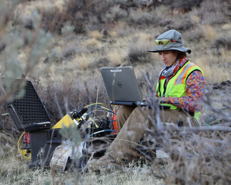
Our geophysical characterization services combine multiple imaging and sensing technologies to evaluate subsurface conditions. Each method provides unique data about structure, composition, and moisture variations. Together, these methods provide comprehensive data you need to understand site behavior and characteristics.
Electrical Resistivity
Electrical resistivity measures variations in subsurface electrical properties to reveal differences in material composition.
Induced polarization
Induced polarization measures how subsurface materials temporarily store electrical charge to reveal compositional differences.
Ground Penetrating Radar
Ground Penetrating Radar uses electromagnetic waves to image subsurface features based on reflected signal differences.
Electromagnetic Induction
Electromagnetic induction measures variations in the Earth’s magnetic field to identify subsurface property differences.
Magnetotellurics
Magnetotellurics measures natural electromagnetic fields to determine variations in subsurface electrical properties and structure.
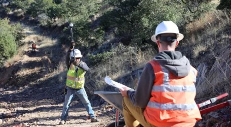
Seismic
Seismic methods measure the travel of acoustic waves through the ground to characterize subsurface materials and structure.
Multichannel Analysis Of Surface Waves
Multichannel Analysis of Surface Waves measures seismic surface waves to determine subsurface stiffness and layering characteristics.
Potential Field Methods
Potential field methods measure natural variations in the Earth’s electrical or magnetic properties to infer subsurface conditions.
Magnetic Surveys
Magnetic surveys measure variations in the Earth’s magnetic field to map subsurface features and materials.
Characterize the Subsurface
Subsurface conditions are rarely uniform or fully documented. Geophysical characterization provides field-verified data on material contrasts and structure to support planning, reduce uncertainty, and guide focused investigation below ground.