

Certerra Subsurface Liner Leak Location – Pinpointing industrial pond liner leaks
News2 Mar 2026
Seismic reflection is a surface-based geophysical method that images subsurface layers by recording reflected seismic energy. The method is used to characterize deeper geology and structural features that cannot be resolved through surface observations alone.

In areas with complex or deeper subsurface conditions, surface observations and shallow methods may be insufficient. Seismic reflection is used where understanding layering, structure, or geologic continuity at depth is necessary to reduce uncertainty during investigation and planning.
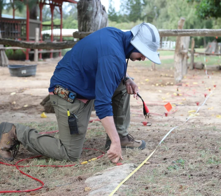
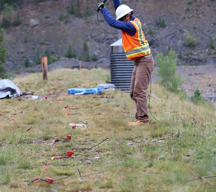
Controlled energy is introduced at the surface and recorded by arrays of sensors. Seismic waves reflect off subsurface interfaces where material properties change. These reflections are processed to create images of subsurface layering and structural features.
Deliverables include reflection profiles and interpreted subsurface images showing layering and structural features. Results support planning and coordination where understanding deeper subsurface conditions is critical.
These questions explain when seismic reflection is used and what type of subsurface information the method provides.
It records reflected seismic energy to image subsurface layering and structural features.
Reflection uses reflected waves to image structure, while refraction analyzes first arrivals for velocity.
Depth depends on survey design, energy source, and subsurface conditions.
No. Surveys are surface-based and do not require excavation.
Seismic reflection surveys provide insight into subsurface structure where depth and complexity limit surface-based understanding. Field-applied methods support planning decisions that depend on accurate imaging of subsurface layers.
Loading...

