

Certerra Subsurface Liner Leak Location – Pinpointing industrial pond liner leaks
News2 Mar 2026
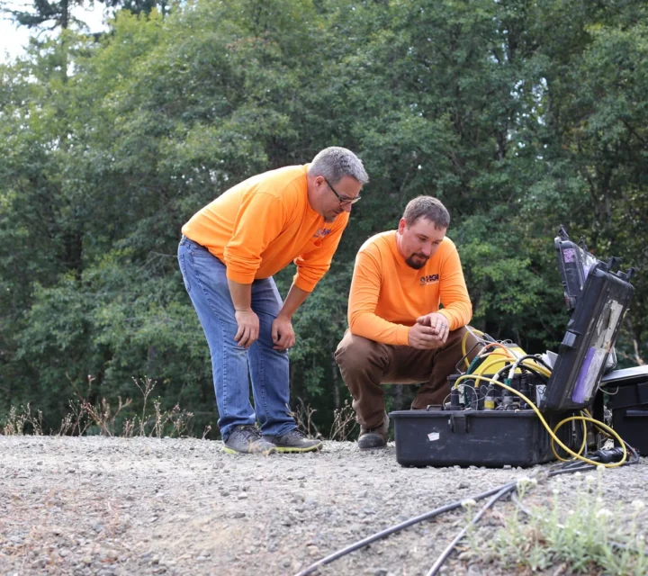
Electrical resistivity is a widely applied geophysical method used to create 2D, 3D, and 4D images revealing hydrogeological, geochemical, and geological variability in the subsurface. This approach provides a rapid, non-intrusive view of the subsurface, offering detailed information that supports evaluation of complex structures and dynamic subsurface conditions.
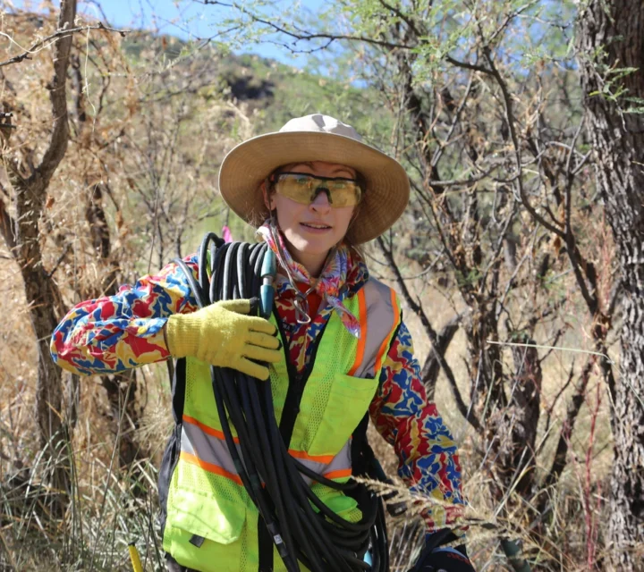
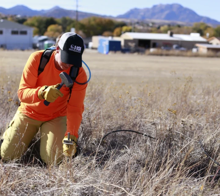
Electrical resistivity measures contrasts in subsurface electrical properties. Electrodes placed in the ground or in water transmit small electrical currents; the resulting voltage responses are recorded and converted into images representing variations in material conductivity and resistivity. These contrasts reflect differences in moisture, lithology, compaction, geochemistry, and structural features.
We collect resistivity data as 2D profiles, 3D grids, or repeated time-lapse surveys. Two-dimensional profiling creates vertical subsurface slices, revealing changes in electrical properties across depth and distance. Three-dimensional imaging provides full volumetric views, resolving complex or irregular features that cannot be captured in single lines. Time-lapse resistivity monitors changes over time by acquiring repeated datasets at intervals suited to the process being studied.
Electrical resistivity is well-suited for understanding hydrogeological behavior, characterizing geochemical evolution, and identifying geological boundaries or anomalies. This method excels at imaging complex rock piles, mapping structural heterogeneity, and characterizing material distribution at depth. Time-lapse resistivity tracks changes over time, making it ideal for evaluating dynamic processes such as fluid movement, injections, and evolving geochemical conditions.
You receive detailed subsurface data revealing internal hydraulic and structural conditions showing where moisture occurs, how materials vary, and which features influence flow and stability. These insights support decisions that improve efficiency and reduce uncertainty. Time-lapse resistivity tracks how conditions evolve, providing valuable information for assessing injections, drainage, plume movement, and other dynamic processes critical to your operations.
We integrate 2D, 3D, and time-lapse electrical resistivity imaging to capture subsurface variability and dynamic change. These methods provide complementary perspectives on structure, moisture, and material differences delivering the comprehensive data you need to understand complex subsurface conditions.
Resistivity Profiling creates two-dimensional images of the subsurface using electrical property contrasts to interpret geological or hydrological conditions and extend borehole understanding.
Marine resistivity collects continuous or static resistivity profiles in aquatic environments to map subbottom geology, sedimentation, and groundwater discharge using integrated water and bathymetry data.
3D electrical resistivity uses full three-dimensional electrode layouts to solve large, structurally complex subsurface problems, mapping geology, fluid flow, contaminants, and metallurgical conditions.
Resistivity Profiling creates two-dimensional images of the subsurface using electrical property contrasts to interpret geological or hydrological conditions and extend borehole understanding.
Vertical Electrical Sounding (VES) is a deep, cost-effective 1D resistivity method ideal for reconnaissance surveys, able to resolve large subsurface contrasts with minimal equipment and personnel.
Time lapse resistivity monitors subsurface changes over time for injections, plume movement, flooding, drawdown, or seepage using repeated 1D, 2D, or 3D resistivity snapshots.
Learn how resistivity identifies subsurface variability, tracks dynamic change, and provides the clarity needed to evaluate complex conditions, reduce uncertainty, and support confident management.
Electrical currents are transmitted through electrodes, and voltage responses are measured to create images of subsurface resistivity.
Electrical resistivity surveys cover small-area profiles to large multi-acre 3D grids, depending on project needs and electrode layout.
Yes. Time-lapse surveys track evolving conditions such as fluid movement or geochemical changes.
Resistivity provides deeper, more detailed structural information and can be adapted for both static and dynamic investigations.
Electrical resistivity helps identify changes in material type, moisture content, and structure below ground. Field-verified resistivity data supports subsurface characterization, reduces uncertainty, and guides focused investigation and planning.
Loading...

