Certerra Subsurface Liner Leak Location – Pinpointing industrial pond liner leaks
News2 Mar 2026
Gravity surveys are passive geophysical methods that measure small variations in the Earth’s gravitational field. These variations reflect differences in subsurface density, providing regional insight without introducing energy into the ground.
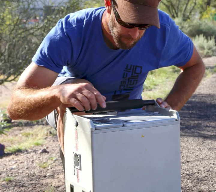
Subsurface features with differing densities can influence planning and investigation outcomes. Gravity surveys are used to identify density contrasts associated with geologic structures, voids, or large-scale material changes where surface observations are insufficient.
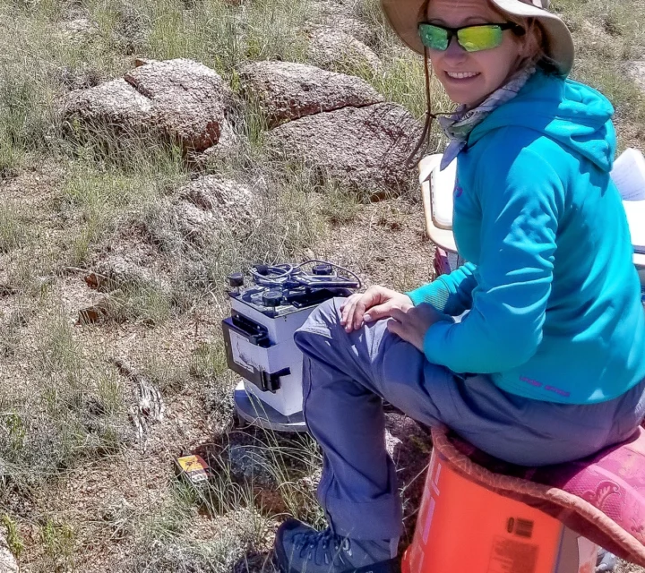
Highly sensitive instruments measure small changes in gravitational acceleration at the surface. Measurements are collected across a defined area and corrected for environmental and positional effects to isolate variations related to subsurface density differences.
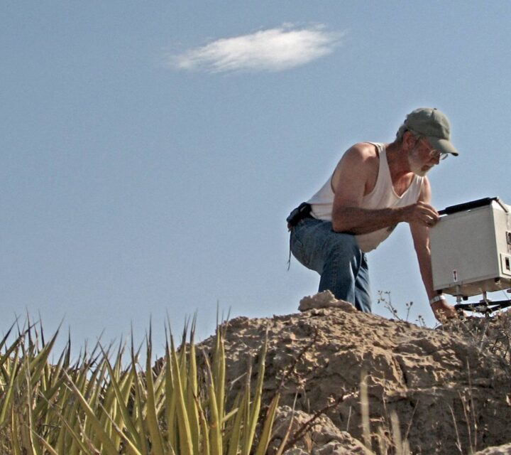
Deliverables include gravity anomaly maps, documented survey data, and supporting interpretations. Results provide regional context and help guide focused investigation where subsurface density variations may influence planning decisions.
These questions explain how gravity surveys are performed and what type of subsurface information they provide.
They measure variations in gravitational acceleration caused by subsurface density differences.
Yes. Gravity surveys do not introduce energy into the ground.
They are typically used for regional or large-area investigations.
Gravity data is commonly integrated with other geophysical or subsurface methods.
Gravity surveys measure subtle variations in the Earth’s gravitational field caused by density contrasts. Certerra applies gravity methods to support regional subsurface characterization and investigation planning.
Loading...