

Certerra Subsurface Liner Leak Location – Pinpointing industrial pond liner leaks
News2 Mar 2026
Geohazard characterization is an essential practice to understand natural and anthropogenic geologic conditions that may pose serious danger to people property and the environment. Certerra designs and implements characterization to identify and manage subsurface hazards and provide assessments that clearly indicate where potential concerns exist.
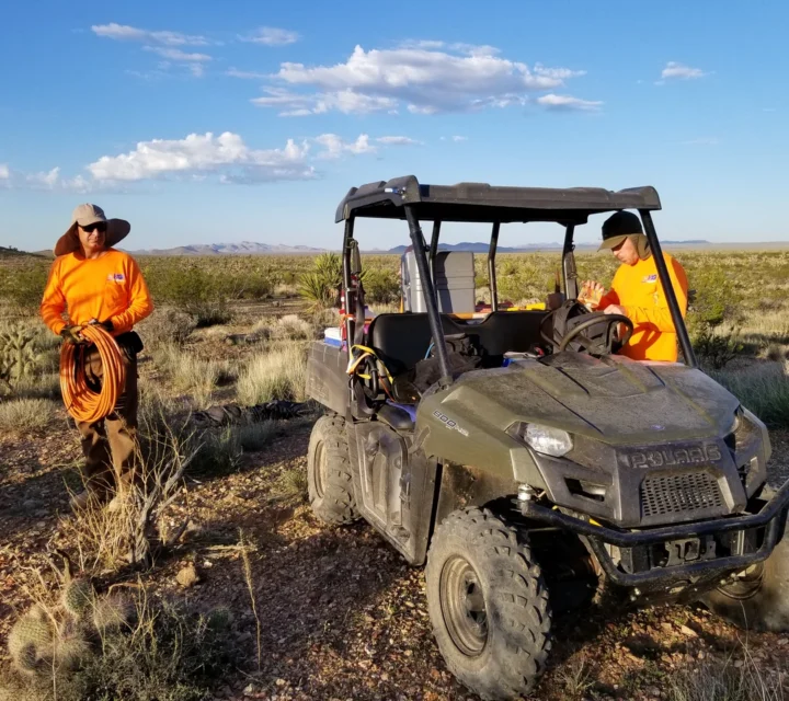
Certerra designs and implements geohazard characterization surveys using advanced geophysical methods to assess subsurface conditions and identify where potential hazards exist. Our geological hazard characterization includes mapping faults, fracture zones, voids, and unstable materials ahead of construction to confirm site stability and ground competency. These results enable you to develop targeted mitigation strategies and engineering solutions that protect people, property, and the environment.
Geohazard characterization addresses the challenge of unseen subsurface hazards–such as voids, sinkholes, karst cavities, unstable fill, or fractured bedrock–that can compromise infrastructure stability, groundwater flow, or remediation efforts. Conventional investigation methods, such as drilling, may miss these features due to their small scale or irregular distribution. By providing spatial context and imaging, Certerra helps reduce uncertainty, avoid costly surprises, support informed design or closure, mitigate risk of collapse or structural failure, and guide targeted investigation and remediation programs.
Clients receive detailed evaluations of potential geohazards beneath their site, including maps and cross-sections of voids, cavities, weak zones, depth to competent bedrock, and structural anomalies. These deliverables support safe design, effective monitoring, targeted remediation, and defensible decision-making. With this insight, you gain confidence to proceed with construction, development, or closure in areas where standard techniques alone would leave unknown risk. Certerra’s work helps minimize downtime, reduce surprises, optimize investigation or mitigation plans, and ultimately protect investments and safety.
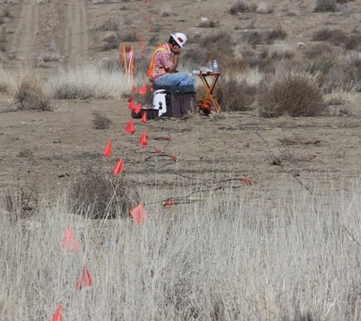
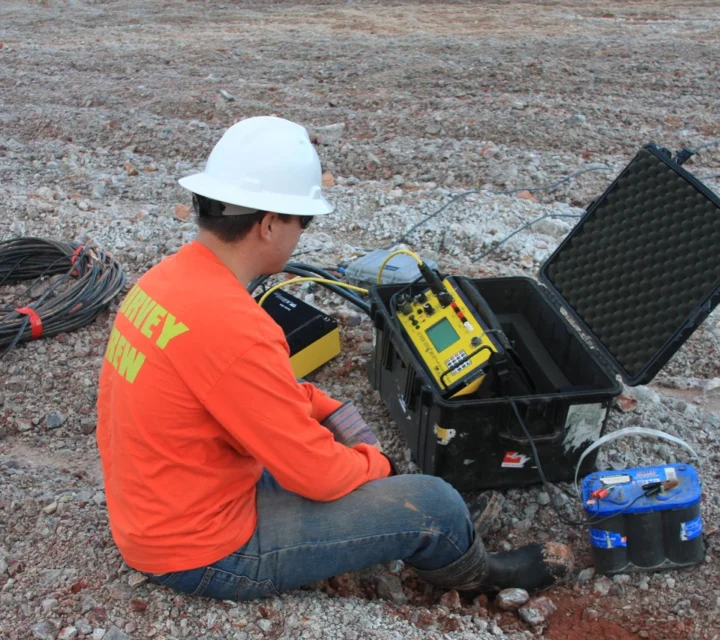
We use multiple geophysical methods for geohazard characterization. These surface-based imaging technologies detect voids, unstable materials, and structural anomalies by sensing contrasts in density, resistivity, seismic velocity, and moisture saturation, providing reliable assessment of subsurface hazard potential.
Electrical resistivity measures variations in subsurface electrical properties to reveal differences in material composition.
Ground Penetrating Radar uses electromagnetic waves to image subsurface features based on reflected signal differences.
Learn how geohazard characterization works, why it matters, and how geophysical methods detect subsurface voids, unstable materials, and structural risks to protect your project and ensure site safety.
Geohazard characterization is the process of identifying and mapping subsurface geological hazards—such as cavities, sinkholes, fault zones or mining voids—to inform risk-management.
Void spaces, karst conduits, fractures, depth to bedrock, subsidence zones, unstable fill, and structural discontinuities.
Yes—geophysics complements drilling. It provides spatial context that helps optimize borehole placement and reduce uncertainty.
Hidden hazards can cause project delays, cost overruns, or failures; early detection allows risk control and design adaptation.
Geologic hazards can impact planning, construction, and long-term performance. Geohazard characterization provides field-verified insight into subsurface conditions associated with risk, supporting mitigation planning and informed decision-making.
Loading...

