

Certerra Subsurface Liner Leak Location – Pinpointing industrial pond liner leaks
News2 Mar 2026
Fracture, fault, and fissure mapping uses geophysical surveys to identify structural features by detecting contour offsets or large changes in subsurface property values along lineations. We correlate these geophysical signatures with geologic mapping to locate features that create infiltration zones or influence groundwater pathways, including potential acid rock drainage (ARD) conduits.
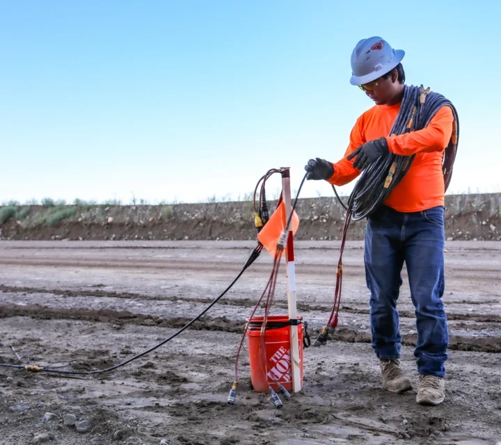
We acquire geophysical measurements at the surface and process them to create models of subsurface property distributions. Offsets in contouring and pronounced contrasts highlight lineations that indicate fractures and faults. Variations in physical properties and density reveal structural boundaries and orientations, enabling a comprehensive understanding of subsurface geological fracturing and its relation to infiltration and groundwater pathways.
Fracture mapping is useful for identifying infiltration zones and potential groundwater pathways. It is also performed to find transport pathways of ARD, issues not easily solved by traditional characterization or monitoring methods such as drilling and groundwater sampling. By revealing structural controls, geophysical mapping addresses uncertainties that hamper understanding of subsurface flow and connectivity.
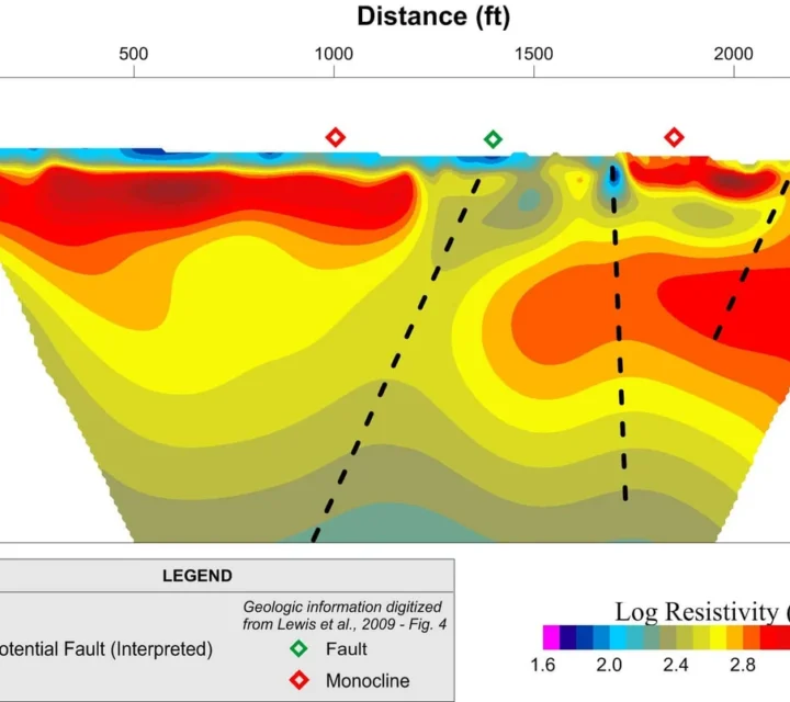
Fracture mapping creates a detailed picture of subsurface structure: lineation-aligned contrasts, contour offsets indicating potential faults, and property anomalies that may represent enhanced moisture content or clay zones. These results identify infiltration zones, potential groundwater pathways, and ARD transport routes, delivering comprehensive understanding of geological fracturing tailored to your site’s characteristics and project objectives.
Geophysical characterization combines advanced imaging and measurement technologies to reveal variations in subsurface structure and properties. Together, these methods illuminate fractures, faults, and pathways—offering a detailed view of how subsurface features influence fluid movement, stability, and connectivity within the ground.
Electrical resistivity measures variations in subsurface electrical properties to reveal differences in material composition.
Seismic reflection records returning seismic waves to create detailed images of subsurface layers and structures.
Learn how fracture mapping improves subsurface understanding, reveals groundwater and contamination pathways, and supports informed decisions for your project.
Fracture mapping provides continuous, spatially extensive data that complements borehole results, reducing uncertainty and identifying structural trends that drilling alone might miss.
By identifying infiltration zones and flow paths, fracture mapping helps predict groundwater recharge areas and assess potential contaminant or ARD migration pathways.
Geophysical fracture mapping is non-invasive, provides detailed spatial coverage, and delivers rapid insight into subsurface structure. This approach supports smarter planning, reduced risk, and more effective long-term site management.
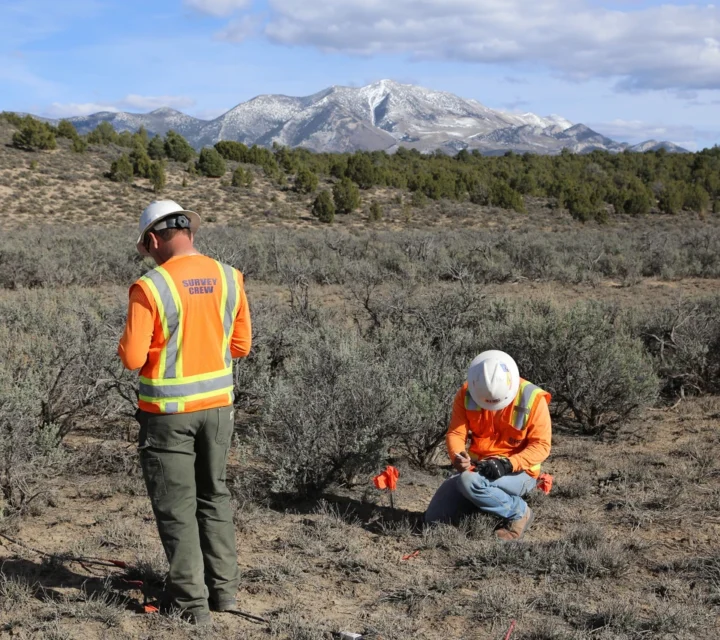
We collect geophysical measurements at the surface to identify contrasts in subsurface properties. These contrasts highlight structural lineations, fractures, and faults, revealing zones of increased permeability and potential fluid pathways that influence groundwater movement and contamination transport.
Subsurface fractures influence groundwater flow, stability, and excavation behavior. Fracture mapping provides field-verified insight into fracture patterns and structural features to support informed planning and subsurface decision-making.
Loading...

