

Certerra Subsurface Liner Leak Location – Pinpointing industrial pond liner leaks
News2 Mar 2026
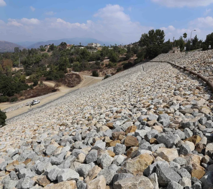
Our dam-monitoring technology uses non-invasive geophysical methods, including electrical resistivity and seismic, to repeatedly image an earthen dam’s internal structure and fluid movement. By tracking changes over time, it detects seepage, erosion, or structural weakness early and cost-effectively.
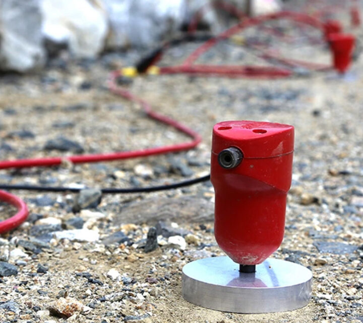
Our dam-monitoring system combines repeated non-invasive geophysical measurements to image internal structure and track fluid flow. Resistivity monitors moisture changes by detecting changes in conductivity. Seismic surveys map stiffness and density variations within structures helping track any developing anomalies. Time-lapse differencing detects evolving seepage or degradation.
Our geophysical dam monitoring tackles the hidden risks in aging earthen structures: undetected seepage, internal erosion, piping, and changing hydrodynamic conditions. By imaging moisture movement and structural changes non-invasively over time, it gives early warning of failure pathways—helping dam owners mitigate risk safely, affordably, and proactively.
With our geophysical dam monitoring service, clients receive rich, time-lapse datasets (resistivity, seismic) that visibly track subsurface changes in moisture, structure, and flow. These insights help pinpoint seepage, erosion, or instability early, enabling proactive risk management, more informed engineering decisions, and greater operational safety, all in a cost-competitive way.
We use multiple geophysical methods for continuous dam monitoring. These non-invasive techniques repeatedly image internal structure, track moisture changes, and detect seepage development over time, providing the time-lapse subsurface data you need to identify emerging risks, prioritize maintenance, and ensure dam safety.
Learn how geophysical dam monitoring works, why it’s essential for risk management, and how our continuous monitoring methods help engineers, regulators, and asset managers detect changes early, prioritize interventions, and protect dam integrity over time.
Traditional instruments sample only at discrete points. Geophysics provides a more continuous internal picture of moisture, flow paths, and structure.
Time-lapse surveys capture data at client required intervals, be it daily, monthly, or annually. We can tailor the installations to provide data in real time or whatever the required monitoring interval is.
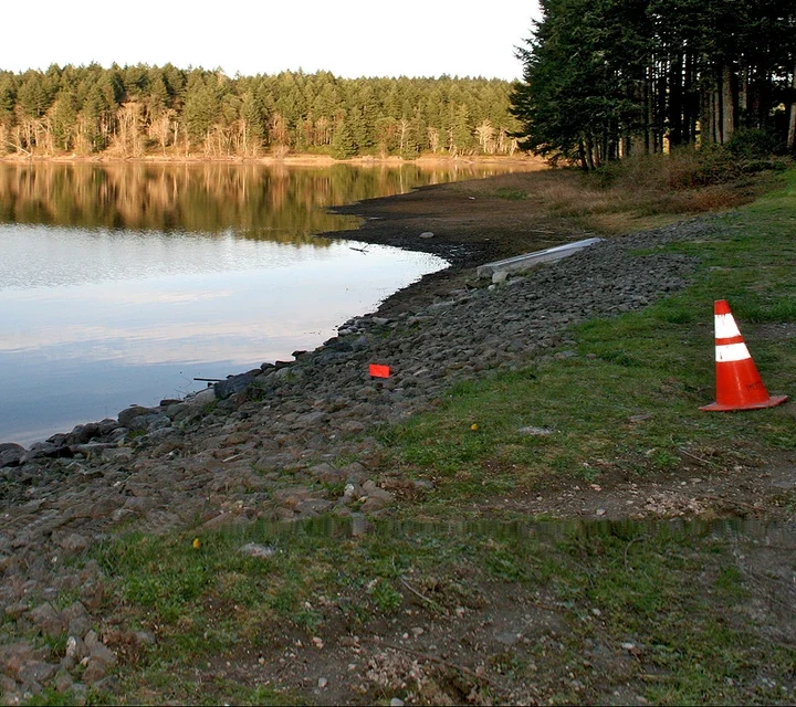
Yes. Measurements are taken from the surface without intrusive drilling, reducing risk and minimizing environmental disturbance.
The data sets are data-rich and actionable, enabling engineering teams to make informed risk-mitigation decisions based on evolving subsurface behavior.
Ongoing visibility into dam conditions is critical, even when access is limited. Non-invasive monitoring provides field-verified insight into internal changes over time, supporting awareness, planning, and informed management decisions.
Loading...

