

Certerra Subsurface Liner Leak Location – Pinpointing industrial pond liner leaks
News2 Mar 2026
Certerra’s plume mapping technology identifies and delineates subsurface contaminant zones. It leverages advanced geophysical imaging to reveal hidden anomalies in soil and groundwater without physical intrusion. By interpreting variations in electrical properties, this approach transforms complex underground conditions into clear, actionable insights.
Subsurface contamination often remains hidden, posing risks to groundwater and environmental integrity. Traditional sampling can miss critical zones, leaving uncertainty in remediation efforts. Certerra’s technology addresses these challenges by providing continuous, non-invasive imaging that reduces reliance on assumptions. It detects anomalies, delineates boundaries, and clarifies conditions in areas where direct observation is impossible. This capability minimizes risk, improves planning, and supports compliance by revealing patterns invisible to conventional methods.
Certerra delivers high-resolution subsurface models that empower informed decision-making. You gain a dynamic understanding of contamination extent and behavior, backed by accurate, repeatable data. These insights enable proactive strategies, optimized remediation planning, and fewer surprises during critical operations.
Beyond static imaging, our technology supports time-lapse monitoring that reveals how conditions evolve. This continuous perspective turns complexity into clarity, giving you the confidence to manage environmental challenges effectively.
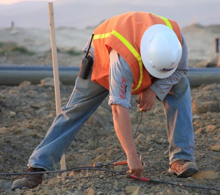
We use multiple geophysical methods for plume mapping and contaminant delineation. These non-invasive techniques detect contamination zones, track plume migration, and monitor subsurface changes—providing the comprehensive data you need for effective remediation planning.
Electrical resistivity measures variations in subsurface electrical properties to reveal differences in material composition.
Learn how plume mapping works, why it matters, and how our geophysical methods help you detect contamination, track migration, and make data-driven decisions.
Plume mapping is the process of identifying and delineating zones of subsurface contamination using geophysical techniques that measure variations in physical properties.
Contaminant plumes can migrate and eventually impact groundwater resources, creating environmental hazards and regulatory challenges if not detected and managed early.
Plume mapping provides spatially continuous data, reducing uncertainty and enabling informed strategies for remediation, compliance, and long-term monitoring.
Geophysical mapping leverages contrasts in subsurface properties, such as resistivity, to reveal contamination patterns without invasive drilling or excessive site disruption. Unlike point-based sampling, geophysical mapping offers broader coverage and higher resolution, minimizing the risk of missing critical contamination zones.
Understanding plume extent and movement is critical for investigation and response planning. Plume mapping provides field-verified insight into subsurface conditions to support monitoring strategies and informed decision-making.
Loading...

