

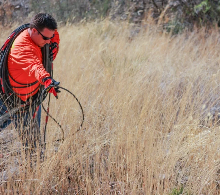
Certerra Subsurface Liner Leak Location – Pinpointing industrial pond liner leaks
News2 Mar 2026
Certerra applies advanced geophysical technology to monitor and assess groundwater systems without invasive drilling. By interpreting variations in subsurface properties, we reveal water distribution, flow pathways, and aquifer conditions—transforming complex geological data into actionable intelligence for sustainable water resource management.
Our technology measures contrasts in electrical, seismic, and other physical properties to image subsurface conditions. These variations occur due to changes in saturation or lithology. By transmitting signals and analyzing responses, we build detailed models of underground systems. This process converts raw measurements into clear visual representations, enabling accurate interpretation of groundwater patterns, movement, and aquifer behavior.
Groundwater systems are often hidden and complex, making them difficult to assess with traditional methods. Our technology provides clarity where uncertainty exists—detecting anomalies, tracking changes over time, and reducing reliance on assumptions. By revealing subsurface patterns that sparse borehole data misses, we help you minimize risk in planning and make better decisions for long-term water sustainability.
We use multiple geophysical methods for groundwater monitoring and assessment. These non-invasive techniques map aquifer conditions, track water movement, and detect changes over time, providing the continuous subsurface data you need for effective resource management and protection.
Electrical resistivity measures variations in subsurface electrical properties to reveal differences in material composition.
Seismic methods measure the travel of acoustic waves through the ground to characterize subsurface materials and structure.
Learn how geophysical groundwater monitoring works, why it matters for sustainability and risk management, and how our methods provide the subsurface intelligence you need to protect this critical resource.
Groundwater mapping uses advanced geophysical techniques to visualize subsurface water distribution and related geological features without invasive drilling.
Our technologies measures variations in physical properties–such as resistivity–to create detailed models of subsurface water systems and their dynamics.
Unlike traditional point-based sampling, geophysical mapping offers broader and near-continuous spatial coverage and higher resolution for complex subsurface environments.
Groundwater mapping provides scientifically defensible data for environmental assessments, permitting applications, and regulatory documentation–giving you evidence to support compliance requirements.
Groundwater conditions can change with time, use, and site activity. Groundwater monitoring provides field-verified information to support documentation, trend awareness, and informed decisions tied to subsurface water conditions.
Loading...

