

Certerra Subsurface Liner Leak Location – Pinpointing industrial pond liner leaks
News2 Mar 2026
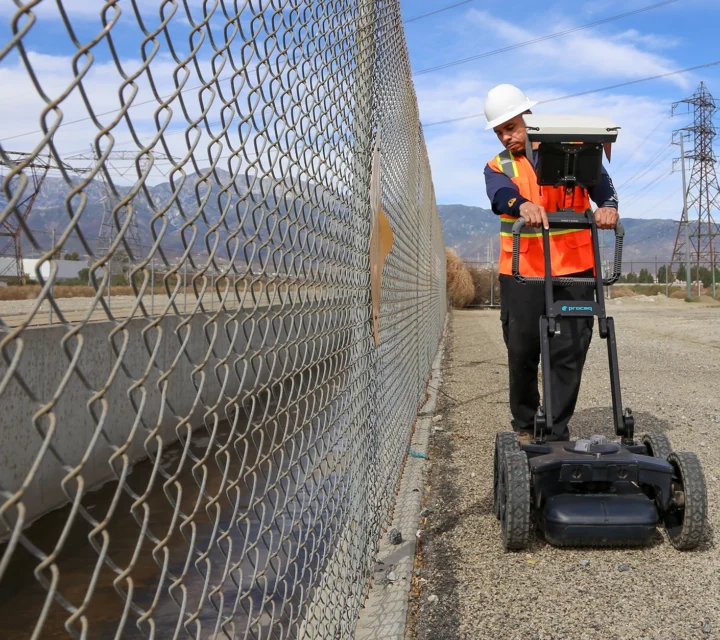
Utility survey and mapping captures verified utility information in the field and documents it using survey-grade workflows. This direct investigation service provides accurate, usable records where existing utility information is incomplete or unreliable.
Utility records often vary in accuracy and may not reflect current site conditions. Utility survey and mapping addresses this gap by documenting utilities based on field-verified information. This service supports projects that require dependable utility data for coordination, planning, construction, or long-term asset management.
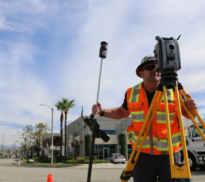
Utility locations are identified through investigation and verification methods, then surveyed and documented using established mapping workflows. Execution focuses on accuracy, consistency, and clear documentation to ensure utility information can be confidently used across project teams.
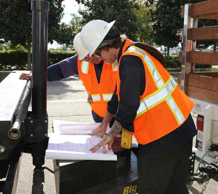
Deliverables include mapped utility locations, supporting documentation, and digital records suitable for coordination and planning. Outputs may be integrated into reports, drawings, or models to support ongoing project needs.
Direct investigation often involves multiple approaches depending on access, utility type, and project requirements. These related services support visual confirmation, targeted exposure, and field-verified documentation when greater subsurface confidence is required.
Camera inspection provides internal access to pipes where sondes are commonly deployed.
Internal transmitters trace conduits where surface locating cannot confirm alignment.
Vacuum excavation exposes utilities for direct visual confirmation at key locations.
Defined work areas verified using multiple investigation methods before excavation or drilling.
These questions explain how utility survey and mapping is performed, what information is provided, and how field-verified records support project planning and coordination.
This service documents utilities based on field-verified information rather than relying solely on existing records.
Locating and verification methods may be used to support mapping, but the focus is on documentation and records.
Deliverables may include maps, reports, drawings, or digital files depending on project requirements.
Yes. Survey-grade utility records support ongoing planning, coordination, and asset management.
Utility survey and mapping deliver organized, field-verified records of subsurface utilities. Accurate documentation supports coordination, planning, and informed decision-making where reliable utility information is required across a project lifecycle.
Loading...

