

Certerra Subsurface Liner Leak Location – Pinpointing industrial pond liner leaks
News2 Mar 2026
Magnetotellurics measures naturally occurring variations in electric and magnetic fields to recover subsurface electrical properties. By recording orthogonal electric and magnetic field components, MT and AMT resolve resistivity with depth from tens of meters to multiple kilometers.
Magnetotellurics uses naturally generated electromagnetic fields as passive energy sources. Variations caused by thunderstorms and ionospheric–solar wind interactions induce telluric currents in the subsurface. Measuring orthogonal electric and magnetic field components allows resistivity to be recovered with depth.
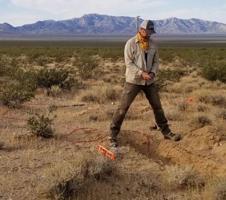
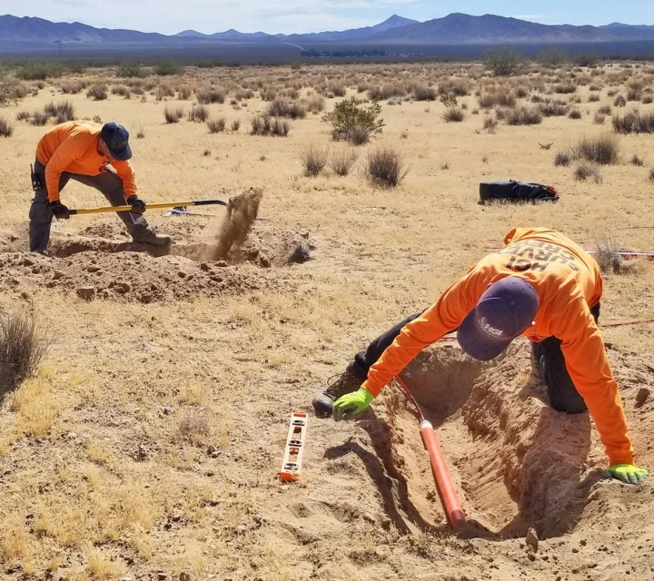
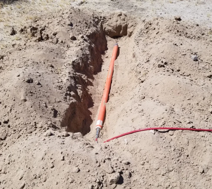
Survey stations consist of porous pot electrodes and magnetic sensors oriented along orthogonal axes. Electric and magnetic fields are recorded for many hours, producing time-series data. After processing and inversion, multiple stations combine into 2D or 3D resistivity cross-sections that reveal lithology, structure, and hydrologic conditions. Resistivity variations reflect the subsurface lithology and structure and can be used for resource exploration, basin mapping, and other large scale survey needs. In addition, MT methods are well suited to mapping lithium brines and deposits in deep basin settings.
Magnetotellurics is commonly applied in groundwater exploration, geothermal investigations, mining exploration, and hydrocarbon assessments. MT and AMT resolve resistive and conductive contrasts associated with water content, heat, grain size, mineral composition, and structural features.
AMT is effective for higher-resolution mapping of shallow targets such as groundwater, basin fill, fault zones, or near-surface lithology. MT excels at deeper investigations where lower-frequency signals penetrate several kilometers to reveal conductive geothermal systems, mineralized zones, or hydrocarbon-bearing structures. Because resistivity increases with consolidated rock and decreases with heat, fluids, or metals, MT/AMT can identify saturation zones, structural boundaries, and geologic changes influencing subsurface behavior.
MT and AMT provide resistivity images that clarify geologic structure, lithology, groundwater conditions, and deep subsurface properties. Users gain the ability to identify contrasts between resistive and conductive materials, revealing changes linked to saturation, heat, mineral content, or structural complexity. These insights support groundwater mapping, resource evaluation, and deep investigation of geothermal or mineral targets.
The methods deliver imaging depths ranging from tens of meters to multiple kilometers, making them suitable for both shallow assessments and large-scale regional studies. Combined with other datasets, MT/AMT improves the interpretation of basin structure, fault zones, deposit thickness, and zones of geologic or hydrologic significance.
Learn how natural-source EM signals reveal resistivity variations, what depths MT/AMT can image, and how these contrasts identify geologic structure, lithology, saturation, and other key subsurface features.
Thunderstorms and ionospheric interactions driven by solar wind activity.
Telluric currents are electrical currents induced in the subsurface by natural magnetic variations.
MT/AMT can investigate from depths between tens of meters to multiple kilometers, depending on frequency and site conditions.
Resistivity contrasts are controlled by water content, heat, grain size, mineral content, and structural or lithologic changes.
Magnetotellurics enables investigation of deep subsurface conditions beyond the reach of shallow methods. Field-verified MT data supports regional-scale characterization, exploration planning, and informed decisions where depth and complexity matter.
Loading...

