

Certerra Subsurface Liner Leak Location – Pinpointing industrial pond liner leaks
News2 Mar 2026
Buried pipe location identifies the position and alignment of subsurface piping to reduce uncertainty before excavation or construction. The work focuses on physical detection and verification, providing clear, field-confirmed information where records are incomplete or unreliable.
Buried pipes are often undocumented, mislocated, or altered over time. This creates risk during excavation, maintenance, or redevelopment. Pipe location services address uncertainty by confirming what is present, where it runs, and how it interacts with surrounding infrastructure.
Work begins with site-specific assessment and progresses through controlled field detection and verification. Signals are established, traced, and confirmed across the site to maintain continuity. The focus remains on repeatable field execution rather than assumptions based on drawings alone.
Deliverables include marked pipe alignments, documented locations, and supporting field data. Results can be integrated into utility maps or site plans to support safe excavation, planning, and coordination with other subsurface services.
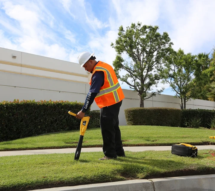
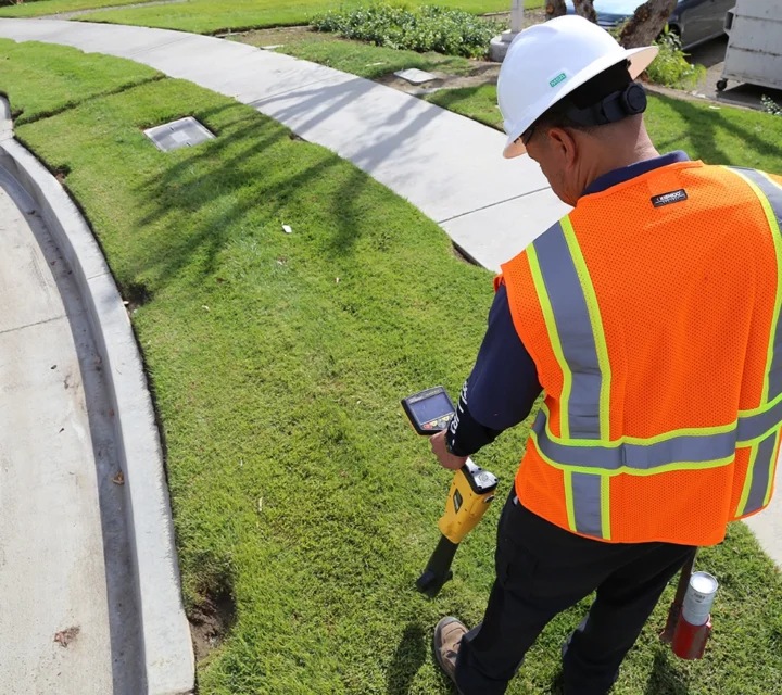
Buried pipe location relies on a small set of proven detection methods selected based on pipe material and site conditions. Each method supports non-destructive field identification and alignment confirmation without relying solely on records or assumptions.
Applies active or passive signals to trace conductive pipes and establish horizontal alignment.
Uses radar reflections to identify non-conductive pipes where subsurface conditions allow signal penetration.
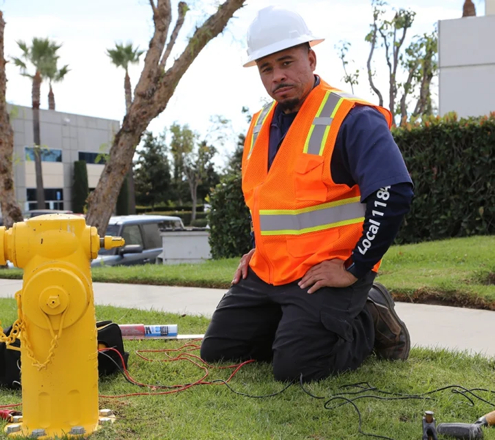
Introduces controlled signals to isolated pipes to confirm continuity and directional changes.
Marks verified pipe paths on the surface to support excavation planning and documentation.
Learn more about buried pipe location, detection limits, and how results are applied during subsurface work.
Conductive pipes are typically identified using electromagnetic methods. Non-conductive pipes may be detected using ground penetrating radar, depending on soil and site conditions.
No. This work identifies physical pipe location and alignment only. It does not include engineering analysis or design interpretation.
Accuracy depends on pipe material, depth, and site conditions. Field verification practices are used to improve consistency and confidence.
Yes. Located pipes can be documented and incorporated into utility mapping deliverables when requested.
Utility investigation services combine locating, verification, and documentation to clarify subsurface conditions. Field-verified information supports safer excavation, improved coordination, and informed decisions where underground utilities affect planning and construction.
Loading...

