

Certerra Subsurface Liner Leak Location – Pinpointing industrial pond liner leaks
News2 Mar 2026
Exploration geophysics uses ground-based measurements and existing borehole investigations to map the subsurface and detect targets from the surface of the earth, all before any new drilling begins. Geophysical methods are integral to exploration campaigns, providing a comprehensive picture of the subsurface and valuable data for resource mapping.
Certerra combines airborne observations, ground-based measurements, and downhole logs to capture subsurface structure that give rise to mineralization. Data from multiple scales are integrated with geology, providing refined subsurface images that guide interpretation and further exploration planning.
Geophysics reduces uncertainty in exploration by illuminating structures, boundaries, and anomalies that conventional approaches often miss. It helps avoid undirected drilling, highlights priority zones, and clarifies complex geology.
Certerra delivers refined subsurface interpretations, detailed models, and maps that improve project value. Integrated results reveal target geometry, focus drilling, and support additional feasibility evaluations.
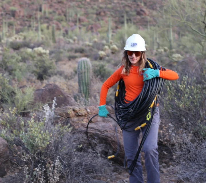
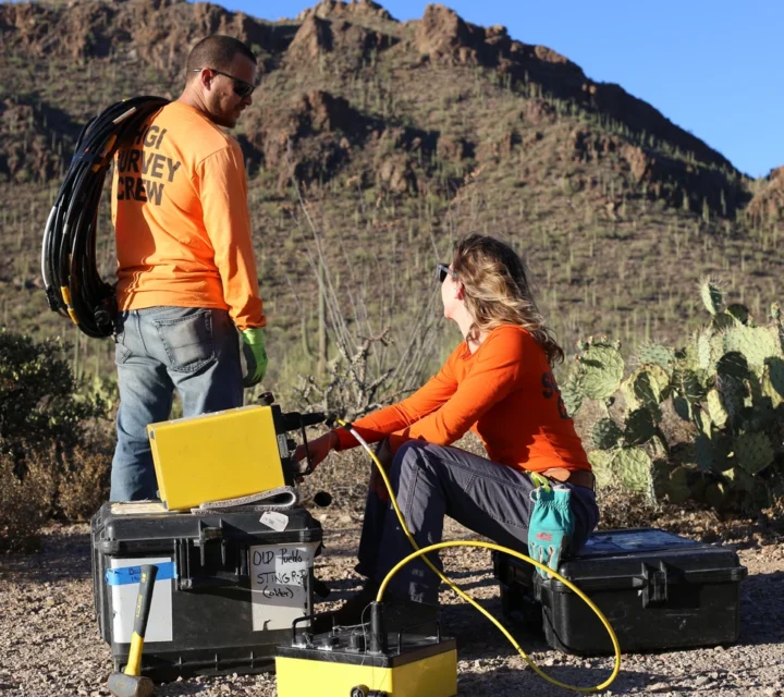
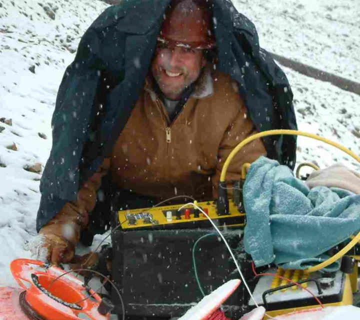
We use multiple geophysical methods to support reliable subsurface characterization. Each contributes complementary information—helping refine geologic understanding and reduce uncertainty. Together, they form an integrated framework for mapping subsurface conditions and guiding efficient, well-informed project planning.
Induced polarization measures how subsurface materials temporarily store electrical charge to reveal compositional differences.
Magnetic surveys measure variations in the Earth’s magnetic field to map subsurface features and materials.
AEM can measure electrical properties at great depths over difficult terrain (e.g., side slopes).
CSAMT provides a deep-penetrating view of subsurface resistivity contrasts.
Learn how geophysical mineral exploration works, why it matters, and how our methods help you map subsurface targets, reduce drilling costs, and make informed decisions that accelerate discovery.
Geophysics provides subsurface insight that helps identify potential targets, structural controls, and geologic boundaries before committing to drilling.
Geophysics supplies spatially continuous data that clarifies complex geology and highlights areas with greater potential for mineralization.
They refine drill targeting by outlining zones with favorable characteristics, enabling more effective placement of boreholes.
By improving target confidence and reducing misallocated drilling, it often saves significant time and financial resources.
Effective mineral exploration depends on understanding subsurface structure and variability. Geophysical investigation provides field-verified insight that supports target development, planning, and informed exploration decisions.
Loading...

