

Certerra Subsurface Liner Leak Location – Pinpointing industrial pond liner leaks
News2 Mar 2026
Seepage and ARD mapping provides a way to understand how water and impacted fluids move through engineered or disturbed earth materials. By imaging internal hydraulic behavior and identifying pathways where fluids migrate, it supports early detection of conditions that may lead to environmental impact, instability, or long-term degradation of mining and earthen systems.
Seepage and ARD mapping detects contrasts in physical and hydraulic properties that reveal how water and impacted fluids move through soil, rock, or engineered materials. Internal erosion, abnormal seepage, and uncontrolled drainage occur when water finds preferential pathways created by variability in material compaction, grain size, chemistry, or structure, processes that remain hidden from surface inspection.
We characterize internal hydrodynamic behavior to show where water accumulates, escapes, and interacts with minerals generating acidic or metal-bearing drainage. This helps you identify zones where seepage may intensify or where ARD may form, migrate, or emerge at the surface.
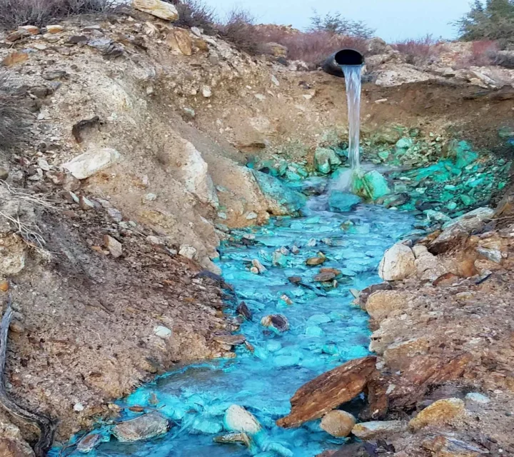
Uncontrolled seepage and acid rock drainage pose serious risks because they develop internally and may go undetected until causing environmental or structural damage. Seepage can transport impacted water into surrounding areas, mobilize metals, accelerate erosion, or create zones of weakness compromising long-term stability. ARD formation intensifies these issues by generating acidic, metal-rich solutions that migrate quickly through permeable zones.
Our subsurface characterization reveals these hidden processes. We map abnormal seepage pathways, internal erosion zones, and preferential flow routes before they escalate into significant environmental concerns, identifying conditions contributing to ARD development and movement within waste rock, tailings, and disturbed materials.
You gain clarity on internal moisture distribution, early indicators of impacted water migration, and conditions driving seepage or ARD formation. This deeper understanding supports more effective planning, monitoring, and remediation.
Our characterization enhances environmental protection by identifying areas where impacted water may leave containment or where acidic drainage could develop. We help you evaluate potential hazards, prioritize corrective actions, and support compliance-focused decisions. By providing clear internal pictures of hydrodynamic behavior, our mapping reduces uncertainty, improves long-term site management, and enables proactive steps that limit environmental exposure and operational risk.
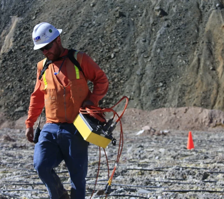
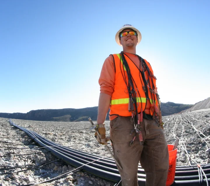
The methods used for seepage and ARD mapping create a detailed internal picture of water movement, saturation patterns, and fluid pathways. These approaches reveal hydrodynamic behavior within earth materials and support early detection of abnormal flow. The methods relevant to this topic are listed below.
Electrical resistivity measures variations in subsurface electrical properties to reveal differences in material composition.
Nuclear Magnetic Resonance measures signals from hydrogen nuclei to reveal subsurface moisture content and pore structure.
FAQ’s on how mapping detects hidden seepage pathways, reveals ARD-related processes, improves environmental protection, and enables proactive decisions that reduce risk and enhance long-term site performance.
Mapping seepage is important because seepage develops internally and may cause environmental or structural issues if not detected early.
ARD mapping detects where acidic or metal-bearing fluids may develop or migrate, supporting early mitigation.
Yes. It highlights internal pathways and weak zones that may lead to uncontrolled fluid movement.
Seepage and ARD processes occur internally and are often invisible from the surface.
Seepage and acid rock drainage can introduce environmental and operational risk. Seepage and ARD mapping provides field-verified insight into subsurface pathways and conditions to support monitoring strategies and informed response planning.
Loading...

