

Certerra Subsurface Liner Leak Location – Pinpointing industrial pond liner leaks
News2 Mar 2026
We map depth to bedrock to define how far solid rock lies beneath the surface. Understanding this depth helps evaluate site stability, optimize design, and reduce risk by revealing variations in subsurface strength and composition. This technology empowers you with knowledge for safe, efficient, and cost-effective project planning.
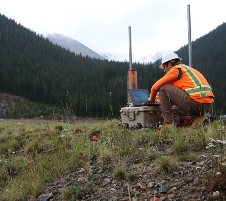
Seismic refraction is one of our primary methods for mapping depth-to-bedrock. This non-invasive technique provides quantitative information on the spatial variability of rock depth and estimates rock strength based on acoustic velocity. Calibration via drilling or augering is still required, but seismic surveys cover far more area at a lower cost compared with extensive drilling alone.
Unknown bedrock depth creates real risks. Understanding depth addresses key challenges surrounding unknown subsurface viability which can affect structural stability and contamination pathways. Variations in rock depth under soils may lead to unexpected footing or slab failures, and unknown bedrock surfaces can hinder accurate budgeting for excavation volumes or soil removal. WIth accurate bedrock interface and spatial variability, these hidden risks are reduced, enabling better-informed decisions.
Our bedrock depth mapping delivers comprehensive data on subsurface conditions. With this technology, you receive spatially resolved understanding of how deep bedrock lies beneath the site and insight into the behaviour of the subsurface. Rather than relying solely on spatially limited drilling, you gain broader survey coverage, more efficient calibration of drilling effort, and risk-aware data that supports smarter design, budgeting, and management decisions.
Geophysical characterization integrates multiple imaging and sensing technologies to evaluate subsurface conditions. Each method provides unique data about structure, composition, and moisture variations, together offering a comprehensive understanding of the ground’s behavior and characteristics.
Seismic refraction measures the travel time of seismic waves to define subsurface layering and material boundaries.
Learn how depth-to-bedrock mapping supports safer foundations, informed decisions, and reduced uncertainty through clear subsurface characterization.
Accurate bedrock depth data reveals subsurface risks before you break ground. With this data, you can budget excavation costs reliably, select appropriate equipment, and optimise designs aligning with real-world conditions, reducing surprises and keeping your project on schedule.
Natural geologic processes, soil composition, erosion, and faulting can all affect the depth and shape of the bedrock surface beneath a site.
When calibrated with limited drilling or sampling, modern subsurface imaging can provide reliable, high-resolution data across large areas, reducing uncertainty and the need for excessive test holes.
Yes. By mapping the subsurface first, teams can strategically target drilling locations, minimizing the number of borings required while still obtaining precise and verifiable data.
Knowing the depth to bedrock reduces uncertainty during planning and construction. Bedrock depth mapping provides field-verified profiles that support foundation planning, excavation decisions, and subsurface coordination.
Loading...

