

Certerra Subsurface Liner Leak Location – Pinpointing industrial pond liner leaks
News2 Mar 2026
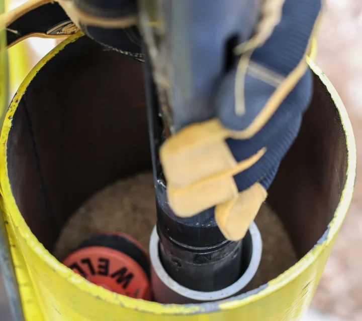
Our borehole geophysical logging encompasses advanced methods including NMR logging, televiewer surveys, PS suspension logging, and full waveform sonic. These technologies are aimed at providing a thorough understanding of subsurface formations and conditions.
Our tailored approach addresses specific site challenges by identifying key geological structures such as fracture zones, voids, and bedding planes, characterizing lithologies, and assessing groundwater and mineral resources. We also provide downhole and crosshole seismic and resistivity imaging to characterize the subsurface for geotechnical and environmental projects, including crosshole P- and S-wave surveys and Vs30 measurements.
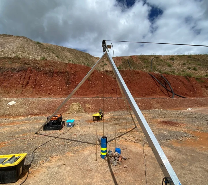
With over three decades of geophysical expertise, we bring deep understanding and cutting-edge technology to every project. Our team is skilled in deploying the right tools and interpreting data to deliver clear, actionable information. We offer comprehensive borehole logging services tailored to the diverse needs of geotechnical, environmental, hydrogeological, and exploration projects.
We provide advanced borehole geophysical logging methods to deliver high-resolution subsurface information for engineering, environmental, and geological evaluations. These tools measure physical properties, image borehole walls, and define formation behavior, enabling accurate characterization and confident decision-making across diverse site conditions.
Measures formation porosity and fluid content using nuclear magnetic resonance of hydrogen in pore fluids.
Records natural gamma radiation to identify lithology changes, especially clay-rich or shale formations.
Measures formation resistivity and conductivity to interpret lithology, saturation, and subsurface fluid behavior.
Profiles borehole diameter to detect enlargement, fractures, or instability along the borehole wall.
Measures acoustic waveforms to determine formation velocity, porosity, and mechanical properties.
Tracks borehole inclination and azimuth to document true well trajectory and orientation.
Produces high-resolution borehole images for fracture mapping, bedding analysis, and structural interpretation.
Assesses conductivity variations to evaluate lithology, permeability, and fluid distribution.
Measures compressional and shear wave velocities to determine dynamic soil and rock properties.
Transmits seismic waves between boreholes to map velocity structure and identify subsurface anomalies.
Learn how advanced borehole geophysical methods work, what they reveal, and how they support engineering, environmental, and geological evaluations with high-resolution, defensible subsurface data.
They record physical properties, such as resistivity, gamma response, velocity, or porosity, to characterize subsurface geology and fluid conditions with high resolution.
Instruments are lowered into the borehole to collect continuous data, providing detailed formation information beyond what sampling alone can reveal.
They are used when projects require precise formation properties, fracture identification, velocity data, or confirmation of lithology and fluid distribution.
Yes. Most logs require trained analysts to convert raw geophysical data into meaningful geological, hydrogeological, or engineering insights.
Borehole-based measurements provide direct insight into subsurface conditions at depth. Downhole geophysical imaging delivers field-verified data that supports formation evaluation, correlation between boreholes, and informed subsurface interpretation.
Loading...

