

Certerra Subsurface Liner Leak Location – Pinpointing industrial pond liner leaks
News2 Mar 2026
We use non-invasive geophysical methods, including electrical resistivity, seismic, and electromagnetics to image dam internal structure, map seepage and piping risks, and monitor changes over time. These insights reveal hidden vulnerabilities in aging earthen dams before they lead to failures.
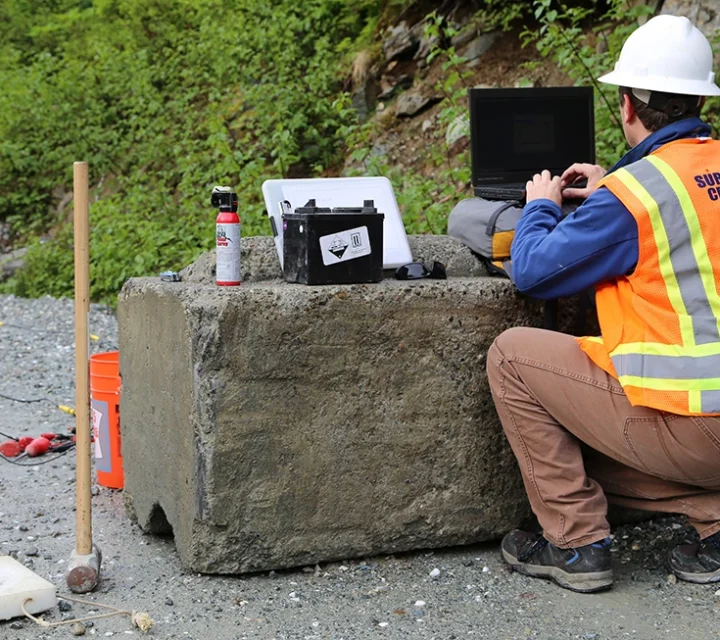
We apply non-invasive geophysical methods, principally electrical resistivity, seismic, and streaming-potential (SP), to look inside earthen dams. Electrical resistivity maps moisture and saturation; identifying changes in saturation associated with seepage for example. Seismic refraction and MASW survey the propagation of sound waves; seismic velocity variations reveal changes in density and stiffness, flagging weak or anomalous zones. SP techniques detect natural electrical potentials driven by subsurface fluid flow, highlighting seepage pathways. By repeating these measurements over time, we can track internal changes due to seepage, erosion, or saturation–enabling early detection of integrity risks.
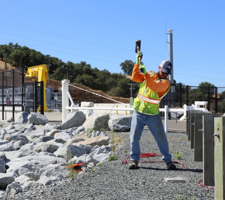
Our geophysical dam integrity assessment tackles the hidden, high-risk issues of earthen structures, seepage, internal erosion, and piping, that often go undetected until failure. Traditional inspection methods struggle to image internal moisture pathways or detect weakening zones, but our non-invasive geophysical techniques reveal saturation anomalies, preferential flow channels, and structural weaknesses before they breach. Repeated monitoring over time flags changes in saturation or stiffness, giving early warning of deterioration and enabling proactive mitigation, minimizing risk to downstream communities.
We use multiple geophysical methods to assess dam integrity and detect subsurface vulnerabilities. These non-invasive techniques image internal structure, map seepage pathways, identify weak zones, and monitor changes over time, providing the comprehensive data you need to evaluate structural stability, prioritize maintenance, and protect downstream communities.
Electrical resistivity measures variations in subsurface electrical properties to reveal differences in material composition.
Learn how geophysical methods assess dam integrity, why they matter for safety and compliance, and how our techniques help engineers, regulators, and asset managers detect vulnerabilities, monitor changes, and make informed decisions to protect critical infrastructure.
Dam integrity assessment is a geophysical evaluation of a dam’s internal structure to detect seepage, erosion, and other hidden vulnerabilities.
Geophysical techniques are non-invasive, provide continuous spatial imaging across the entire dam structure, and detect internal anomalies that visual inspections or discrete point measurements cannot reveal. This comprehensive approach identifies hidden vulnerabilities before they compromise dam integrity.
Methods like electrical resistivity, seismic surveys, and streaming potential map moisture, density, and fluid flow to reveal seepage pathways and internal erosion.
Geophysical assessments can find abnormal saturation zones, internal erosion (piping), structural weakening, and preferential flow paths inside dam embankments.
Evaluating dam integrity requires insight into internal conditions that are not visible from the surface. Dam integrity assessment provides field-verified subsurface information to support monitoring strategies, risk awareness, and informed decision-making.
Loading...

