

Certerra Subsurface Liner Leak Location – Pinpointing industrial pond liner leaks
News2 Mar 2026
Karst and void detection identifies hidden cavities, conduits, and fractured zones in soluble rock or heterogeneous subsurface settings. Certerra uses non-intrusive geophysical surveys to image these features critical for groundwater flow, structural integrity, and contaminant transport in karst terrains and other complex ground systems.
Karst terrains are defined by sinkholes, sinking streams, springs, and caves in soluble rock, creating voids, conduits, and fractures. Our geophysical tools measure contrasts between host rock and air- or water-filled cavities, leveraging significant differences in physical properties. Surveys account for challenges such as variable depths (from meters to hundreds of meters), varying void sizes (from centimeters to tens of meters), rough surface terrain, and seasonal groundwater changes. Surface-based measurements are processed to highlight anomalies, such as resistivity highs or lows, seismic velocity changes, or density offsets, that indicate voids and structural discontinuities. These maps and models reveal geometry, pathways.
Karst systems and underground voids pose significant risks: unpredictable fluid flow, contaminant migration, structural instability, and infrastructure damage. Traditional boreholes rarely intercept these features due to their irregularity and scale. By mapping voids, conduits, and fractures non-invasively, void & karst detection delivers the spatial understanding required to anticipate behavior of subsurface water, assess geohazard potential, and guide targeted remediation or development. It resolves uncertainty in heterogeneous media, supports safe ground use, and helps plan monitoring of dynamic groundwater zones in challenging geologies.
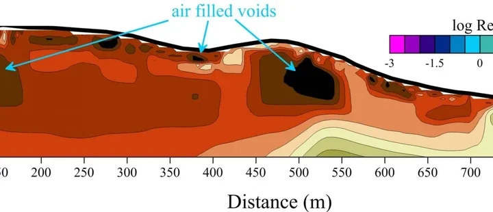
You receive detailed subsurface models showing locations and extents of voids, conduits, and fractures, along with interpretations of how they influence groundwater flow and structural stability. These deliverables enable targeted investigation, mitigate geohazard and contamination risks, and support efficient resource management in complex terrain. With this insight, teams can optimize monitoring, remediation, or development decisions, grounded in reliable spatial context and confirmed structural understanding rather than guesswork.
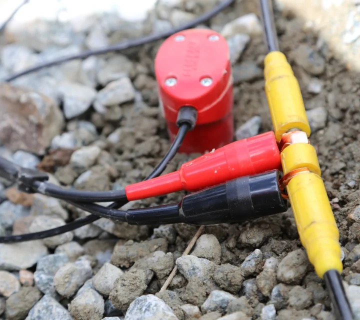
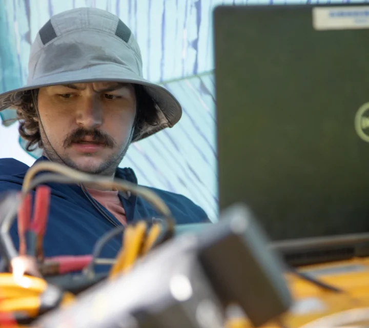
We use multiple geophysical methods for void & karst detection. Our integrated approach characterizes structural discontinuities, detects cavities and conduits, and maps fluid pathways,providing comprehensive subsurface understanding in heterogeneous, void-dominated terrain.
Electrical resistivity measures variations in subsurface electrical properties to reveal differences in material composition.
Ground Penetrating Radar uses electromagnetic waves to image subsurface features based on reflected signal differences.
Get the facts about void & karst detection, how it works, why it matters, and how non-invasive geophysical tools help illuminate hidden conduits, improve groundwater understanding, and mitigate geohazard risks in complex subsurface settings.
It’s the process of imaging subsurface cavities, conduits, and fractures in soluble rock or heterogeneous terrain to understand flow and structural behavior.
Surface-based surveys detect property contrasts—such as resistivity or seismic velocity—that indicate anomalies tied to cavities or fractures.
Subsurface maps and models that show void geometry, connectivity, and inferred flow paths, used to guide investigation, monitoring or development.
Yes. Locating voids and pathways helps assess potential contaminant transport routes and design effective remediation or monitoring strategies.
Subsurface voids and karst features can pose significant risk to infrastructure and excavation. Void and karst detection provides field-verified insight into subsurface cavities to support planning, mitigation, and informed decision-making.
Loading...

