

Certerra Subsurface Liner Leak Location – Pinpointing industrial pond liner leaks
News2 Mar 2026
Geophysical mapping provides a “Big-Picture” subsurface view of engineered mining materials, revealing patterns of internal structure, fluid behavior, and material variability. By imaging the complex interactions within heaps, waste rock, and tailings facilities, we deliver clarity that surface observations alone cannot provide, supporting a more complete understanding of mining system performance.
Geophysical mapping measures how internal physical and hydraulic properties vary within engineered mining materials. Heaps, waste rock, and tailings contain interrelated metallurgical, geochemical, hydrologic, geomechanical, and thermal systems that influence one another, creating complex subsurface patterns. These internal relationships cannot be predicted from surface conditions or operational history alone.
Our mapping detects contrasts that reflect differences in saturation, compaction, material distribution, and fluid pathways. Rock piles fall into a category of “unpredictable structure”–they are not random, and their internal arrangement cannot be assumed. Our mapping identifies these patterns by imaging the subsurface at scale, revealing zones that influence flow, retention, or stability.
Without subsurface mapping, operators may struggle to identify nonuniform flow, localized saturation, dry or under-processed zones, or pathways that allow impacted fluids to move beyond containment. Waste rock and tailings may also transport water rapidly through coarse zones or internal irregularities, creating potential environmental concerns.
Geophysical mapping clarifies the “big-picture” internal structure across an entire pile or impoundment, identifying features that influence drainage, stability, or metallurgical performance. It helps pinpoint variability that affects efficiency or operational consistency and reveals zones that might contribute to risk or reduced productivity. This broader perspective reduces uncertainty, supports early identification of internal issues, and provides the foundation for safer, more efficient, and proactive management of mining materials throughout their lifecycle.
Operators gain detailed insight into internal structure, saturation distribution, and features that influence flow, retention, or stability. This clear, site-wide understanding supports decisions that improve efficiency, reduce environmental risk, and enhance long-term performance.
Our mapping reveals the mechanisms that govern internal behavior, enabling targeted actions that align with operational objectives. It supports identification of areas that may hold valuable inventory, zones where processes underperform, or pathways where fluids may leave containment. By understanding these subsurface dynamics, operators can take proactive steps to optimize performance, evaluate potential hazards, and maintain long-term viability.
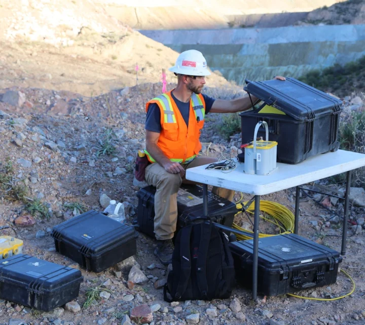
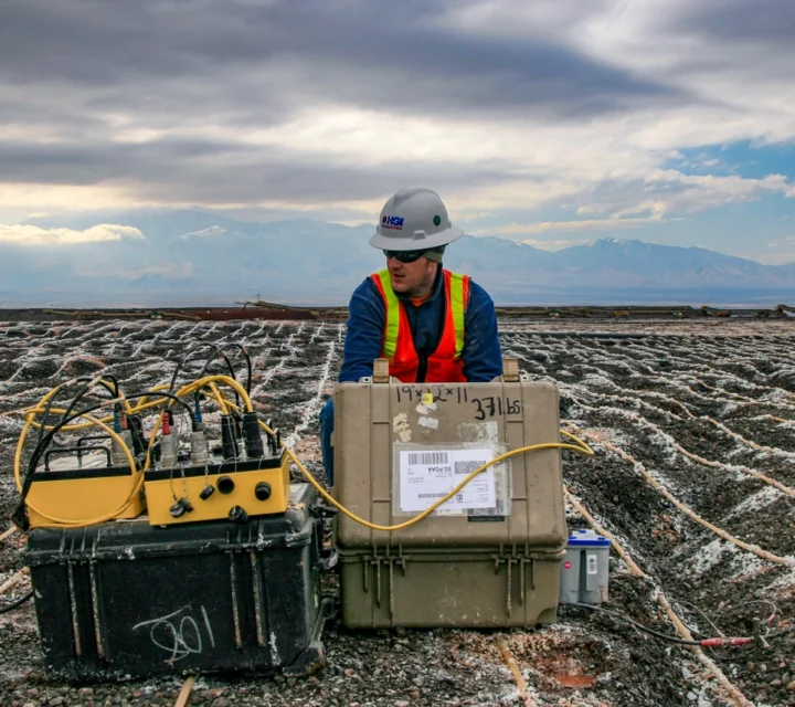
We use multiple geophysical mapping methods that combine broad-coverage imaging and diagnostic techniques to reveal contrasts in subsurface structure and fluid behavior. These integrated approaches provide ccohesive understanding of mining materials at scale, enabling accurate characterization across your entire operation.
Electrical resistivity measures variations in subsurface electrical properties to reveal differences in general moisture conditions.
Similar to electrical resistivity, but can measure electrical properties at greater depths over difficult terrain (e.g., side slopes)
BMR measures the nuclear spin of hydrogen along a PVC or open well. The data provides precise measurements of clay bound, immobile, and mobile water content.
Learn how geophysical mapping clarifies subsurface conditions, identifies hidden features, and provides actionable intelligence for safer operations, risk reduction, and performance evaluation across mining materials.
Geophysical mapping in mining is a method of imaging subsurface conditions to reveal internal structure, fluid distribution, and material variability within mining systems.
Our mapping identifies features influencing flow, stability, or retention, enabling more informed and effective management strategies.
Geophysical mapping highlights nonuniform flow, localized saturation, dry zones, irregular structure, and pathways that could allow fluid movement.
Mapping reveals zones that may contribute to instability, uncontrolled drainage, or variable material performance.
Subsurface conditions vary laterally and with depth. Geophysical mapping provides field-verified representations of material contrasts and structure to support planning, reduce uncertainty, and guide focused investigation below ground.
Loading...

