

Certerra Subsurface Liner Leak Location – Pinpointing industrial pond liner leaks
News2 Mar 2026
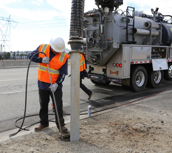
Utility potholing is a non-destructive excavation process used to visually expose buried utilities. Vacuum excavation techniques allow confirmation of utility location, depth, and characteristics while limiting surface disturbance and reducing excavation risk.
Surface locating methods identify utility alignment, but certain activities require visual confirmation. Utility potholing addresses uncertainty where precise utility location is critical, helping reduce damage risk during drilling, coring, excavation, or construction in congested areas.
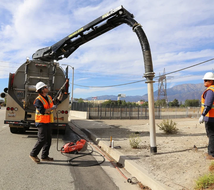
Potholing locations are selected based on prior locating results or known conflict points. Vacuum excavation is used to carefully remove soil and expose utilities. Execution emphasizes control, safety, and minimal disturbance while allowing direct visual verification.
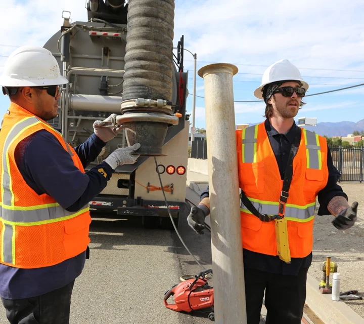
Deliverables include visually confirmed utility exposures, documented locations, and supporting field observations. Information can be incorporated into utility maps, reports, or digital records to support coordination, planning, and risk management.
Utility potholing relies on non-destructive excavation techniques to safely expose buried utilities. Methods are selected based on soil conditions, access constraints, and the level of verification required for the project.
Uses pressurized air or water with vacuum removal to expose utilities safely.
Selective exposure of utilities at specific conflict points for visual confirmation.
Learn more about common considerations for exposing utilities to verify location and reduce excavation risk.
Potholing is used when visual confirmation of utility location or depth is required before excavation or construction.
Yes. Vacuum excavation minimizes surface disruption and reduces the likelihood of utility damage.
No. Potholing is typically performed after locating to visually confirm utility position.
Yes. Exposed utility locations and observations can be documented in maps, reports, or project records.
Potholing provides controlled, non-destructive exposure of buried utilities to confirm depth, alignment, and material. Field-verified exposure points support accurate documentation, coordination, and safer decision-making before excavation or construction proceeds.
Loading...

