

Certerra Subsurface Liner Leak Location – Pinpointing industrial pond liner leaks
News2 Mar 2026
Utility clearance confirms subsurface conditions before ground disturbance. Field-based locating, verification, and documentation methods are used to identify utilities and reduce uncertainty where excavation, drilling, or construction activities are planned.
Planned ground disturbance often occurs where subsurface information is incomplete or unreliable. Utility clearance addresses the risk of striking buried infrastructure by identifying utilities within defined work areas before excavation, coring, drilling, or grading begins.
Utility clearance begins with defining the proposed work area, followed by targeted field detection and verification. Locating results are reviewed across the clearance zone to confirm utility presence or absence, emphasizing repeatable execution and field confirmation over record reliance.
Deliverables include marked clearance limits, documented findings, and supporting field data. Information can be incorporated into maps, reports, or digital records to support coordination, permitting, and safer execution of planned work.
Utility clearance combines non-destructive locating and verification methods to assess subsurface conditions within defined work zones. Methods are selected based on expected utilities, access conditions, and project constraints.
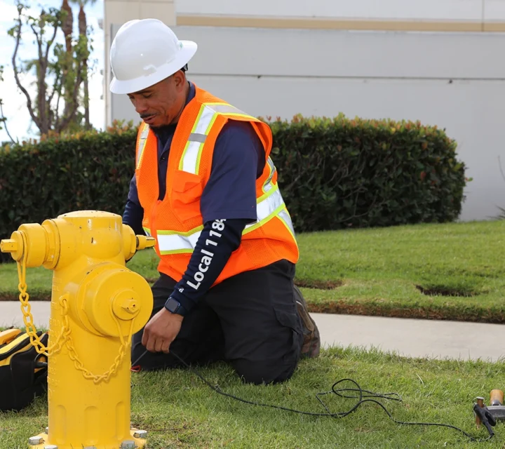
Active and passive locating used to identify conductive utilities within proposed work areas.
Radar imaging used to detect non-conductive or unknown subsurface utilities where conditions allow.
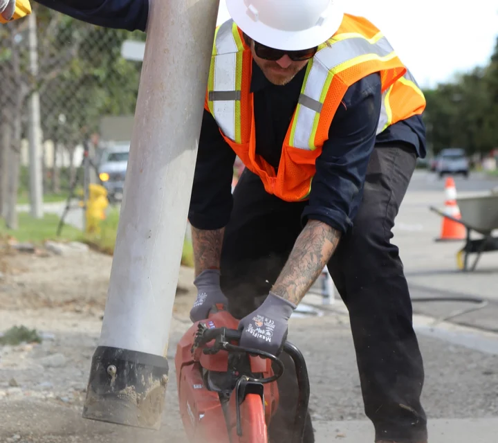
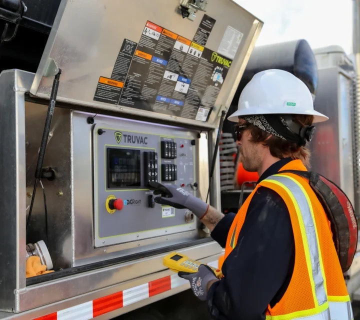
Selective vacuum excavation confirms utility presence at critical locations within clearance zones.
Verified utility locations and clearance limits marked and recorded for project use.
Learn more about how utility clearance is performed, what it confirms, and typical limitations.
Utility clearance identifies known utilities within a defined area. It does not guarantee the absence of all subsurface features.
Clearance is commonly performed before excavation, drilling, or coring to reduce the risk of utility strikes.
Clearance focuses on horizontal location. Depth confirmation may require potholing at specific locations.
Yes. Findings can be included in maps, reports, or digital deliverables when requested.
Utility clearance verifies that proposed excavation areas are free of conflicts or that known utilities are clearly identified. Field-verified clearance supports safer excavation, improved coordination, and reduced risk before work begins.
Loading...

