

Certerra Subsurface Liner Leak Location – Pinpointing industrial pond liner leaks
News2 Mar 2026
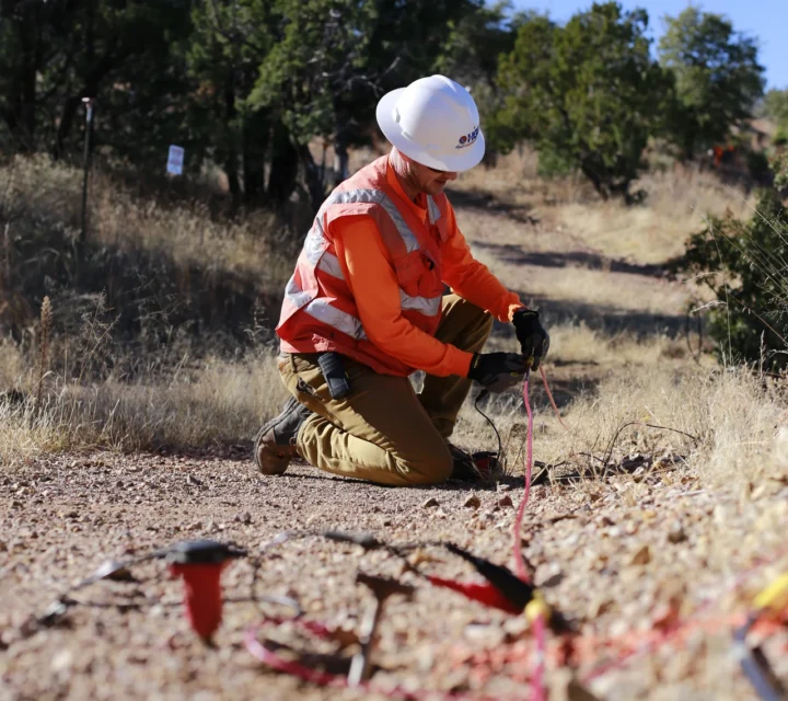
Seismic refraction is a surface-based geophysical method used to estimate subsurface layer velocities and depths. By measuring the travel time of seismic waves, refraction surveys provide insight into material contrasts below ground.
Surface observations alone often cannot define subsurface layering or depth to competent materials. Seismic refraction is used where contrasts in material stiffness or velocity are present and where understanding shallow to moderate depth conditions reduces uncertainty during planning and investigation.
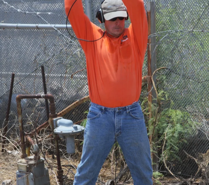
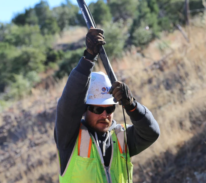
Controlled energy is introduced at the surface and recorded by a line of sensors. The earliest arriving seismic waves are analyzed to estimate subsurface velocities and layer boundaries, allowing interpretation of material changes with depth along the survey profile.
Deliverables include interpreted velocity profiles, estimated layer depths, and documented subsurface models. Results support coordination and planning where depth to bedrock or material transitions influence subsurface decisions.
These questions explain when seismic refraction is used and what type of subsurface information the method provides.
It measures seismic wave travel times to estimate subsurface velocities and layer depths.
Refraction works best where seismic velocity increases with depth.
Depth depends on survey layout, energy source, and subsurface conditions.
No. Surveys are performed from the surface without excavation.
Seismic refraction surveys help estimate subsurface layering and depth where surface observations are insufficient. Field-applied measurements support planning decisions that depend on understanding shallow to moderate depth ground conditions.
Loading...

