
Advanced Geophysical Imaging to Protect a High-Hazard Dam and Downstream Communities
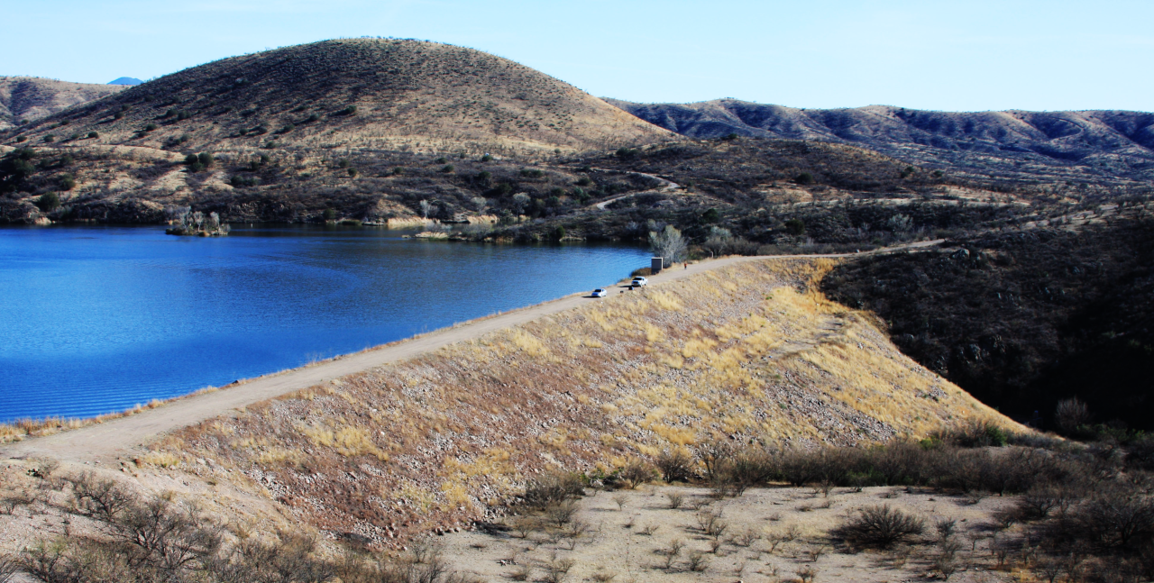
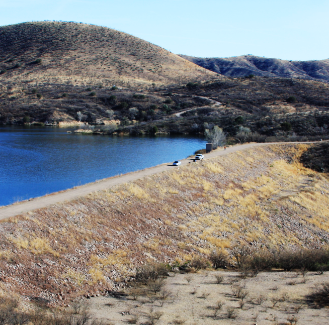
Patagonia Lake Dam in southern Arizona is classified as a high-hazard facility, with downstream communities and sensitive riparian environments at risk in the event of failure. Built in the late 1960s, the dam’s design reflects the engineering assumptions and hydrologic models of its era, making modern assessment essential for long-term safety and resilience.
Arizona State Parks has historically monitored the dam using piezometers and land-based surveys. To improve understanding of internal conditions and detect potential issues early, the agency partnered with Certerra Subsurface to integrate advanced geophysical monitoring technologies into its assessment program.
The Challenge
A breach at Patagonia Lake Dam could release 4.6 billion gallons of water and sediment through Sonoita Creek toward the Santa Cruz River, posing severe risks to ecosystems, infrastructure, and the growing community of Rio Rico.
Traditional surface monitoring methods provide limited visibility into the dam’s internal structure. The challenge was to establish a baseline, non-invasive subsurface characterization method capable of detecting subtle moisture and structural changes before they evolve into surface-level warning signs.
Our Approach
Certerra Subsurface deployed a comprehensive electrical resistivity imaging program across both the dam face and the lake bottom upstream of the structure.
Dam-Face Electrical Resistivity Survey
- Installed 533 electrodes along four resistivity transects across the crest and downstream face.
- Established a baseline dataset to evaluate future changes in moisture content and internal conditions.
- Identified zones of conductive, higher-moisture material versus resistive, drier and more stable material, which are key indicators of dam health.
Lake-Bottom and Sediment Imaging
- Conducted marine electrical resistivity surveys, towing floating cable arrays behind a survey vessel.
- Collected continuous resistivity, GPS, and bathymetric data to map sediment thickness, bedrock elevation, and areas of preferential flow.
- Combined datasets to produce detailed cross-sections showing sediment accumulation, bedrock geometry, and potential structural features such as faults.
The Results
- Mapped the full internal structure of the dam and the underlying native material.
- Confirmed expected signatures of a well-functioning dam, including a conductive clay core engineered to minimize seepage.
- Identified variations in native rock resistivity, including areas potentially influenced by lake water or structural discontinuities.
- Characterized sediment buildup behind the dam, including areas where conductive sediments overlie resistive bedrock, supporting long-term sediment management decision-making.
- Provided actionable insights to support future monitoring, strengthen early-warning capabilities, and improve overall dam-safety planning.
Why It Matters
By integrating land-based and marine resistivity surveys, Certerra Subsurface delivered a holistic, non-invasive understanding of structural integrity, seepage pathways, and sediment distribution at Patagonia Lake Dam. This geophysical approach helps operators detect subtle changes in moisture and structure before they become visible or hazardous, supporting safer management of a critical water-storage asset.